Walk the City Together: Neighbor‑Powered Short Urban Routes
Why Small Walks Transform Daily Life


Gathering Local Knowledge Respectfully
Designing Safe, Accessible, Delightful Routes
Stories That Make Maps Unforgettable
Tools That Keep It Open and Useful
From Paper Notes to Clean GPX
Start with sidewalk sketches and annotated photos, then digitize paths using open tools. Snap lines to sidewalks rather than traffic lanes, trim pauses, and label crossings consistently. Export GPX and GeoJSON for reuse. A clean backbone lets designers build printable cards, screen‑readable directions, and mobile maps without reinterpreting messy fragments later.
Open Data, Open Licenses
Host routes and points of interest with permissive licenses so neighbors can remix, translate, and print. Cite sources like OpenStreetMap edits, audit attributions regularly, and document data caveats clearly. Openness multiplies stewardship: when anyone can improve a guide, accuracy increases, and maintenance becomes a community habit rather than a fragile project burden.
Test Walks and Versioning
Before publishing, organize small test walks at different times and speeds, including mobility device users and parents with strollers. Log issues, adjust notes, and bump version numbers with changelogs people can understand. Iteration signals reliability, showing newcomers that routes are living, cared for, and responsive to real‑world conditions they will actually face.
Growing the Circle: Participation and Feedback
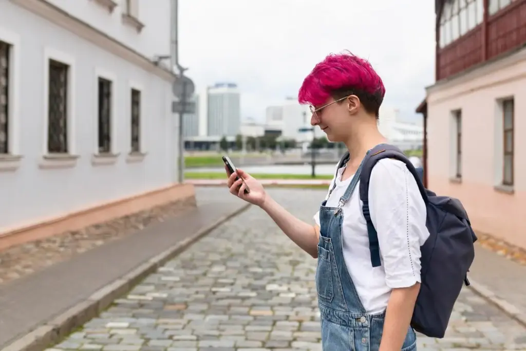
Weekend Map‑Walks Anyone Can Join
Mini Challenges and Friendly Badges
A Listening Channel That Actually Listens
All Rights Reserved.